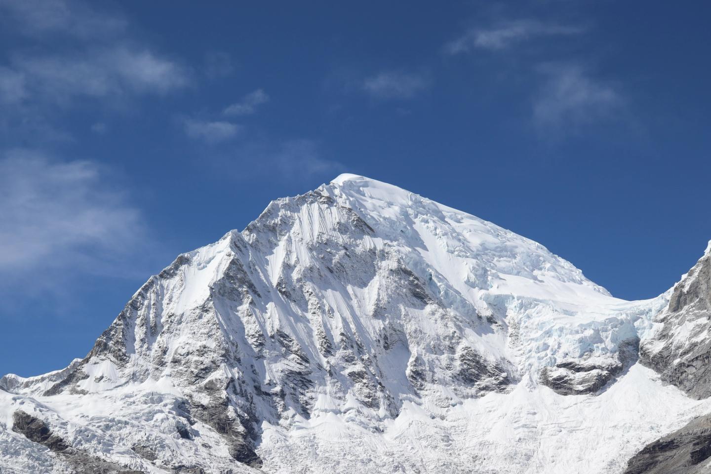

The Cordillera Blanca rises like an almost continuous wall east of the Santa River. Huaraz, Carhuaz, Yungay and Caraz occupy the inhabited Callejón de Huaylas on its western side; across the crest, high passes descend into the Conchucos valleys. Huascarán National Park protects the heart of this range, with sharp peaks, glaciers, puna, queñua woods and hundreds of mountain lakes.
This is not a park with one entrance. Each quebrada cuts its own corridor into the mountains and has a different starting point, road and type of visit. Llanganuco pairs a mountain drive with lakes and short walks; Laguna 69 requires a sustained ascent; Pastoruri interprets glacier loss and highland vegetation; Santa Cruz links two valleys in a multi-day traverse.
Park, mountain range and biosphere reserve
Huascarán National Park covers 340,000 hectares and became a World Heritage Site in 1985. It protects the central high mountains of what UNESCO calls the world's highest tropical mountain range. Nevado Huascarán reaches 6,768 metres and 27 park summits rise above 6,000 metres. Those figures convey scale, but the landscape makes most sense in its deep U-shaped valleys, where ice, rock and water meet.
The Huascarán Biosphere Reserve is much larger than the national park and also contains inhabited farming areas. The Callejón de Huaylas is not an empty buffer around a natural monument: villages, fields, livestock, water use and tourism directly adjoin protected highlands. A park visit continually moves between those everyday valleys and the more strictly protected zone.
Llanganuco: a glacial valley between Huascarán and Huandoy
From Yungay, the road climbs into Quebrada Llanganuco. Chinancocha and Orconcocha sit in sequence within a narrow glacial valley between the Huascarán and Huandoy massifs. Chinancocha has a control post and interpretation centre. The short María Josefa trail enters queñua woodland beside running water and shows that the valley is more than the colour of its lake.
Llanganuco suits travellers who want the scale of the mountains without making a long walk the day's central activity. Ask transport providers which stops are included: Chinancocha alone, both lakes, the woodland trail, or continuing towards Portachuelo and another trailhead create substantially different trips. Road condition and the permitted route can change with park notices.
Laguna 69 starts farther along the same valley
The Laguna 69 route starts at Cebollapampa, beyond the two Llanganuco lakes. The path climbs through open valley and queñua to an intensely blue lake below Chacraraju and Nevado Pisco. A vehicle therefore reaches the start of the walk, not the lagoon itself. Its popularity and shared approach make Laguna 69 look like an extension of a lake stop, though it is a mountain hike in its own right.
SERNANP has determined that tourism activities on Laguna 69 and Nevado Pisco use companies holding a current park agreement. Check the latest park list and ask whether a ‘tour’ includes guiding or transport alone. Also agree on the turnaround point and procedure when someone returns early; a shared bus runs to the arrangement made for the whole group.
Parón and Santa Cruz: northern approaches
Laguna Parón lies east of Caraz in another watershed. The road reaches the shore area, with views towards Artesonraju, Pirámide de Garcilaso and Chacraraju; a higher viewpoint then requires a separate climb. Caraz is the logical base for Parón, and the Cruz de Mayo community shares a role in visitor management with SERNANP. Current road and access arrangements belong to this specific valley.
The Santa Cruz–Huaripampa route crosses the range between the Cashapampa area and Vaquería. Jatuncocha, Taullicocha, the granite form of Taulliraju and the passage over Punta Unión give the trek its sequence. Because the start and finish are in different valleys, transport to both ends, park registration, camp setup and an alternative for route changes all form part of the same decision.
Churup and Llaca from Huaraz
Laguna Churup occupies a steep side valley above Huaraz. From Pitec the trail looks back over the city and Cordillera Negra, then follows rock walls and waterfalls to the lake below Churup peak. It is a full uphill hiking choice close to town; ‘near Huaraz’ says little about the effort on the path. Ask about the condition of fixed aids on steeper sections and the current return transport from Pitec.
Quebrada Llaca reaches farther north into the massif towards Ranrapalca and Ocshapalca. A road penetrates deep into the valley, after which different hiking and mountaineering objectives diverge. Tourism services around Llaca are managed through a concession involving the Peruvian Mountain Guides Association. Decide whether your objective is a scenic visit, a walk around the lake or the beginning of a technical mountain route.
Pastoruri: a landscape in transition
South of Huaraz, the Carpa sector runs through Cátac to the Climate Change Route at Pastoruri. Along the way are high grasslands, mineral-rich springs at Pumapampa and stands of Puya raimondii. This bromeliad grows for decades before producing an immense flower spike; flowering is exceptional, but dead and non-flowering rosettes are equally part of the ecosystem.
Pastoruri was once visited chiefly for snow and ice. INAIGEM documents a loss of about eighty percent of its glacier area between 1962 and 2020. The interpretation centre and route make that retreat visible. Pastoruri is therefore a choice for highland ecology and climate history, not a promise that the ice edge will match older photographs.
A summit is another category of journey
Nevado Pisco, Alpamayo, Huascarán and other ice-and-rock routes are mountaineering, even when a provider markets one peak as an introduction. A trekking guide, driver or group leader is not automatically qualified for a technical ascent. Discuss current route condition, guide credentials, rope team, glacier equipment, rescue communication and a turnaround decision as one coherent mountain plan.
SERNANP asks visitors to remain on established trails, follow ranger directions and check meteorological alerts. Rain, snow, rockfall, river water or road damage may change the sensible destination for a day. Select a lower or cultural alternative in advance and have transport confirm which quebrada is actually open and reachable.
Huayhuash: a separate mountain range
South of the Cordillera Blanca lies the Cordillera Huayhuash, around Yerupajá and Siula Grande. Visits here focus on treks between mountain lakes and high passes, with camps in different community areas. The usual western approach runs through Chiquián and Llamac; Queropalca provides access from the east. This is a separate trekking destination outside Huascarán National Park, with its own transport and access arrangements.
Five gateways along a long mountain range
- Huaraz has the widest selection of guides, equipment, day outings and access to Churup, Llaca and central quebradas.
- Yungay is the direct transport junction for Llanganuco, Laguna 69 and Vaquería as a start or finish of Santa Cruz–Huaripampa.
- From Caraz, you are closer to Parón, Cashapampa and northern treks.
- Cátac and Recuay are well placed for the Carpa–Pastoruri route and southern valleys.
- Chacas and Huari open the eastern side in Conchucos; they do not naturally share the same daily logistics as Huaraz.
One Huaraz hotel can work for many outings, but every northern day then begins with extra road travel. Splitting between Huaraz and Caraz makes sense when Parón, Llanganuco or Cashapampa appears more than once in the plan. A night on the eastern side suits Chacas, Huari or a traverse; check the through-road and onward connection first.
Access, tickets and park notices
On its visitor page, SERNANP instructs visitors to use authorised operators for visits to the park. Ask the park how that instruction applies to your chosen route. The park also uses one-day and multi-day tickets. Buy through an official channel, check the validity and confirm current prices and sales methods with SERNANP.