
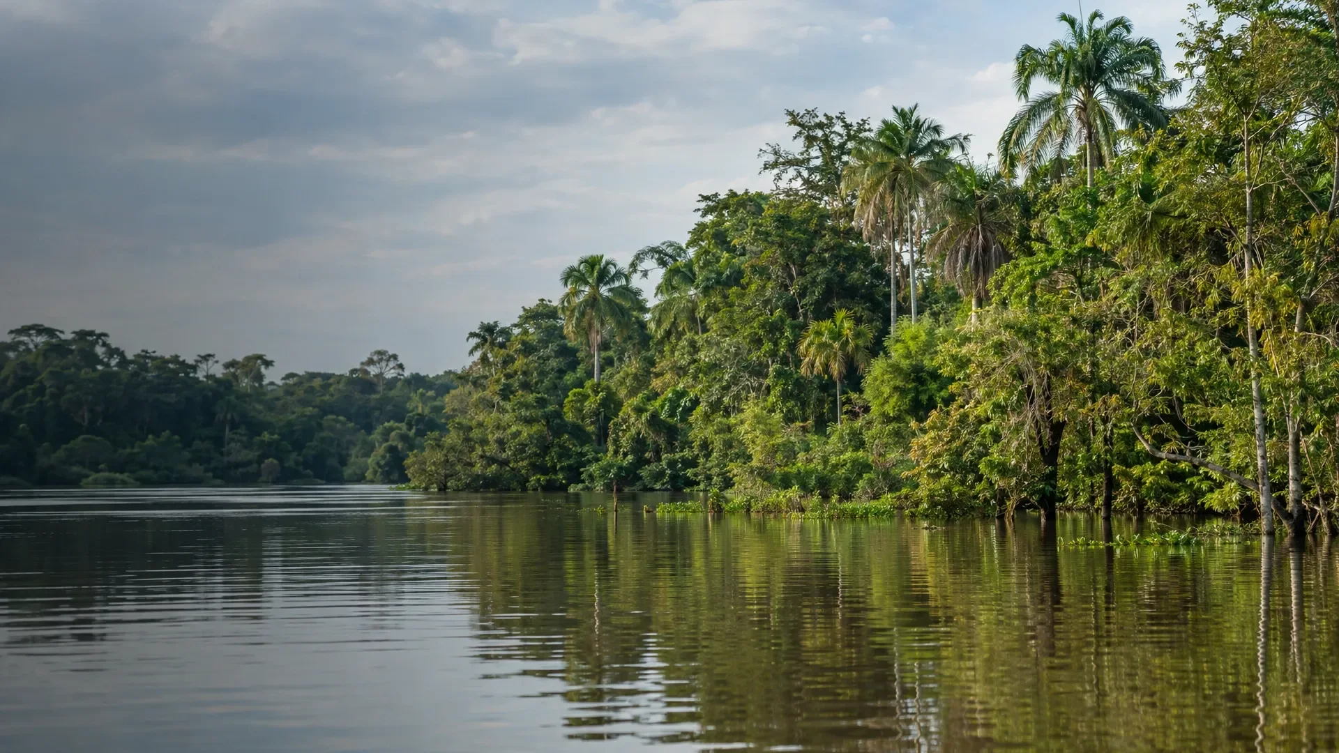
In Pacaya Samiria the line between river and forest moves with the water level. When the water is high, a canoe can take you between the trees in some areas. As the water recedes, riverbanks reappear and there may be more opportunities to explore on foot. The cochas, lakes in this river landscape, change with the water too.
A day at Nauta Caño
If you have one full day from Nauta, look at Nauta Caño. This side channel of the Marañón runs along flooded forest. Cocha de Pona and the other lakes are worth allowing time for if you like watching birds by the water. If you’re starting in Iquitos, factor in the drive from Iquitos to Nauta and back.
Yanayacu Pucate and the village of Yarina
The Yanayacu Pucate route follows the river towards Yarina. Small channels around the village give you more places to look along the banks and into the treetops from a small boat. Ask whether you’ll stay near Yarina and which outings start from your overnight base. That tells you much more about your days than the name of the reserve alone.
The Samiria River via San Martín de Tipishca
The park service lists an approach to the Samiria River from Nauta via the Marañón and San Martín de Tipishca. There are walking trails near this Kukama community, and lakes and side channels farther along the Samiria. If you’re considering this route, ask which lake or trail you’ll visit and how much time you’ll have there.