
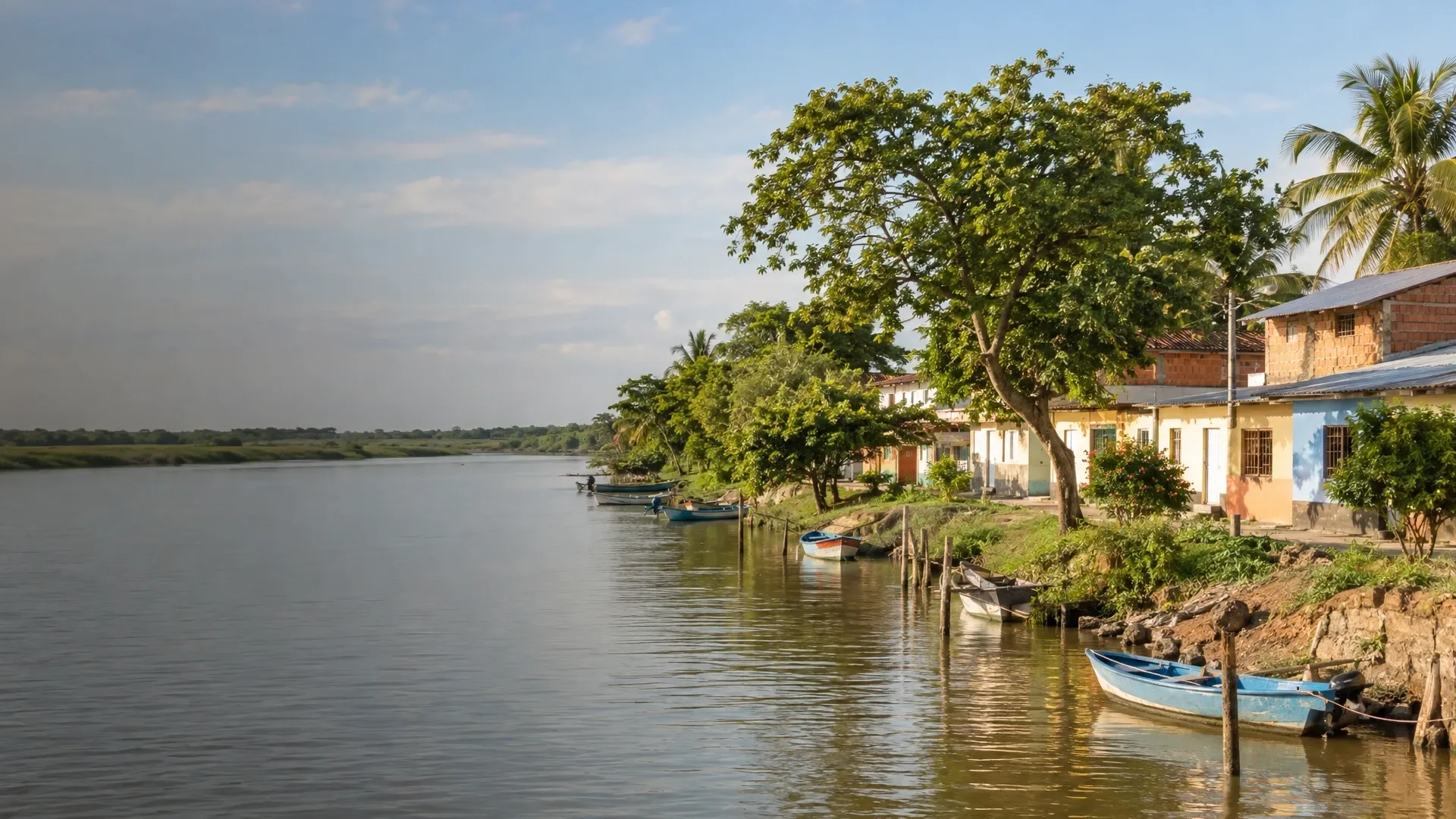
At Los Manglares de Tumbes, trees grow along the boundary between land and water. Roots line the channels, muddy banks appear between the trees and the tide changes what is visible. Near the border with Ecuador, this landscape has a different rhythm from the open beaches farther along the coast. There is plenty to notice close to the boat, too.
Santuario Nacional Los Manglares de Tumbes lies in Zarumilla province, in the department of Tumbes. The name refers to a protected natural area, rather than a park in Tumbes town. The town can be your base; the visit itself requires a separate journey to the departure point you have agreed.
How the tide changes the landscape
Mangroves grow where fresh water and seawater meet. The trees cope with salt water and with ground that is alternately flooded and exposed. Higher water gives you a different view of the roots and channel edges from a tide that leaves more mud uncovered. The changing water level is part of the landscape as well as something that affects a boat trip.
The waterways here are called esteros; Zarumilla, Matapalo and La Envidia are names used in descriptions of the area. Watch the transitions from water to mud and from roots to treetops. Ask your guide how these parts connect. That also gives a quiet stretch without conspicuous animals something to tell you.
Trees, birds and life in the mud
SERNANP describes several mangrove types here, including red and white mangroves. Crabs, shellfish and fish also belong to this ecosystem. The trees are more than a green frame around the water: life among and beneath their roots is an important part of the area.
Birds SERNANP lists for the area include the white ibis and the huaco manglero, a night heron. These are examples of the birdlife, rather than a checklist for every outing. A guide can help identify a bird and explain why a particular channel edge or type of vegetation is interesting.
A landscape that supports livelihoods
For people living around the mangroves, fish, shellfish and other aquatic resources also have economic value. SERNANP links protection of the forest with its use by local communities. Ask how that work relates to conservation. An explanation can add a great deal to the visit; a demonstration or meeting only belongs in your programme if it has actually been arranged.
Zarumilla and Puerto Pizarro are different choices
An advertised “Tumbes mangrove tour” does not tell you which area you will visit. Puerto Pizarro and the national sanctuary near Zarumilla are separate circuits. Use the sanctuary’s full name when making arrangements and ask the provider to mark the departure point on a map. Also confirm with the protected-area administration which route and visiting arrangements are possible on your date.
Then agree what the boat visit includes: the route, any walking sections, time on the water and transport back to your accommodation. A price for the boat alone is different from an outing with transport from Tumbes. Establish that before setting off.
The route and the animals along the way
Does every Puerto Pizarro outing visit this sanctuary?
No. Do not treat those names as the same circuit. Ask explicitly whether you will visit Santuario Nacional Los Manglares de Tumbes near Zarumilla and where you board.
Which animals will I see?
That cannot be fixed in advance. Choose the outing for the mangrove landscape. Tell the guide if birds interest you, but do not build the day around a promised species.